
Rosemead ZIP Codes and Their Coverage
Two ZIP labels appear in Rosemead-area research, but they do not have equal city meaning. 91770 is the principal Rosemead postal route. 91780 is associated with Temple City and boundary-area postal addresses. The table separates postal service from incorporation so a ZIP code directory does not overstate what the city holds.
| ZIP | Areas covered | Post office | Notes |
|---|---|---|---|
| 91770 | Rosemead and postal-route addresses around the city | Rosemead Post Office, Rosemead CA 91770-9998 | Primary city ZIP; postal geography is not proof of city jurisdiction |
| 91780 | Temple City and boundary-area postal addresses | Temple City Post Office, Temple City CA 91780-9998 | May appear in Rosemead-area sources; verify each address |
No verified PO-box-only or unique institutional ZIP within Rosemead was located. Do not add a ZIP from a commercial list. The address-level USPS mode is the authoritative route when a boundary street or postal city is in doubt.
Note: ZIP coverage describes postal service, while the assessor and city boundary answer parcel and jurisdiction questions.
Rosemead ZIP 91770 Postal Geography
91770 is useful for organizing a Rosemead search, but the label describes delivery geography. It does not prove that City of Rosemead departments hold a permit, that a parcel lies inside the incorporated city, or that every person using the mailing address lives there. Postal routes can include addresses around a city and can be used by institutions or businesses with a different legal jurisdiction.
Pair the ZIP with the complete street address, then check the Los Angeles County Assessor situs and AIN. After that, compare the city boundary or planning jurisdiction. The three checks answer separate questions: where mail goes, which parcel is involved, and which agency has the record.
- ZIP Code
- A USPS delivery-area label used to route mail.
- ZIP+4
- A more specific delivery extension attached to a five-digit ZIP.
- Postal city
- The city name USPS uses for delivery, which may differ from incorporation.
- AIN
- The 10-digit Assessor Identification Number that identifies a county assessment parcel.
For parcel-level work, the Los Angeles County Assessor Portal is more precise than a ZIP code directory. Its address or AIN search can lead to legal and map references.
Why ZIP 91780 Appears Near Rosemead
91780 belongs to the Temple City Post Office and can appear in boundary-area descriptions near Rosemead. It should not be presented as a second blanket Rosemead city ZIP. Verify a complete address before deciding whether the parcel sits in Rosemead, Temple City, an adjacent city, or an unincorporated Los Angeles County pocket.
Rosemead abuts Temple City, San Gabriel, Monterey Park, El Monte, South El Monte, and unincorporated South San Gabriel areas. A postal city, school service area, county planning district, utility description, and incorporated city line can therefore disagree. That patchwork is a geography issue, not an error to be smoothed away.
County planning maps use a zoned district labeled Rosemead in unincorporated territory. GIS-NET applies to that county context, while incorporated parcels use City of Rosemead planning rules. A ZIP code directory should name the responsible layer instead of treating 91780 as a city limit.
Note: A nearby postal label is a boundary warning, not a resident match or proof of city jurisdiction.
Verify a Rosemead ZIP Address With USPS
Run the entire street address through the USPS lookup before filtering any other source. The interface offers ZIP Code by Address, Cities by ZIP Code, and ZIP Codes by City and State. Address lookup is the correct mode for an edge case because it returns standardized street spelling, postal city, ZIP, and ZIP+4 when available.
- Enter the complete street address, including unit information when the form accepts it.
- Record the standardized address, postal city, five-digit ZIP, and ZIP+4.
- Search that standardized address in the Assessor Portal to obtain the situs and AIN.
- Compare the parcel with Rosemead and Los Angeles County planning or boundary maps.
- Send a permit, deed, planning, or public-record request to the agency responsible for that jurisdiction.
The USPS result answers delivery. It does not show a household, deed party, voter, or current owner. Keep the output as the first line in a geography worksheet, then add the parcel and agency fields separately.
Use the official USPS ZIP Code Lookup for the address check. The search phrase “Rosemead ZIP code directory” should never be used as a substitute for the full address.
Note: USPS standardizes delivery fields first; it does not validate a deed party, occupant, or agency custodian.
Rosemead ZIP, City Line, and AIN
The AIN is a durable parcel key, while a street address is a human and USPS label. The legal description supplies title-facing identity through lot, block, tract, map, or metes-and-bounds language. When older sources use Savannah or a regional San Gabriel Valley heading, those fields help test whether the historical entry describes the same land as the modern Rosemead parcel.
| Geography field | Question answered | Custodian or source |
|---|---|---|
| ZIP and ZIP+4 | Where USPS routes the mail | USPS lookup |
| Postal city | Which city name appears for delivery | USPS lookup |
| Situs and AIN | Which assessment parcel is at the physical location | LA County Assessor |
| Incorporated boundary | Which city may hold local permits and planning records | City and county maps |
| Legal description | Which land unit a recorded instrument describes | Assessor and RR/CC records |
A correct ZIP can still point to the wrong office if the city line is assumed. Conversely, a city label in an older directory may be a community heading rather than a modern legal boundary. Write the source beside each field and preserve the access date.
Rosemead Portals With ZIP Filters
Only some identity-bearing sources have a useful ZIP or city filter. The Assessor Portal takes address or AIN rather than a ZIP-wide resident query. GIS-NET takes address, AIN, or intersection and can spatially browse nearby unincorporated parcels. DCA Advanced Search can filter city and county, and CSLB can produce license records by compatible city or ZIP fields. These are professional or business directories, not resident counts.
Use the DCA filters to narrow a license identity, then preserve license number, status, city, county, and discipline. A city or ZIP filter creates a candidate set, not proof of a home location. A business filing can expose a street or mailing address while omitting ownership or personal contact details.
Open the DCA advanced search to see the field choices before using the ZIP code directory as a filter.
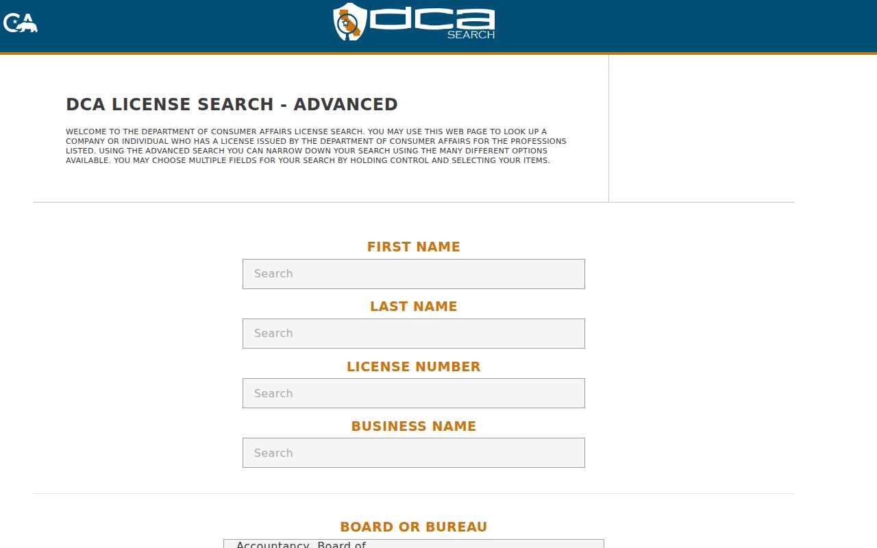
The DCA capture shows how a geography filter belongs to a license record. It does not turn a ZIP into a list of Rosemead residents.
The standard DCA License Search provides a second route for a name, business, or license number.
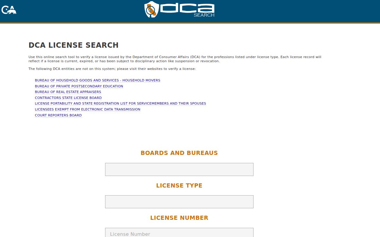
Use both the search mode and the returned record role when comparing license results across Rosemead-area ZIP codes.
Note: A ZIP filter narrows an indexed professional record; it does not create a census of Rosemead residents.
Professional Records by Rosemead ZIP
California contractor and professional records can add local business context to a ZIP research question. CSLB supports searches by license number, business name, personnel name, and Home Improvement Salesperson registration. The result may show status, classification, bond, workers' compensation information, and public complaint disclosures where available. Last-name-first variants and shortened business strings can improve a search.
Keep the ZIP filter modest. It can identify a public business or professional connection, but it does not establish that the licensee lives at the listed address. The record may use a business, mailing, or service address. Compare the result with a business filing or city document when the relationship matters.
Run the CSLB Check a License search for the official record route.
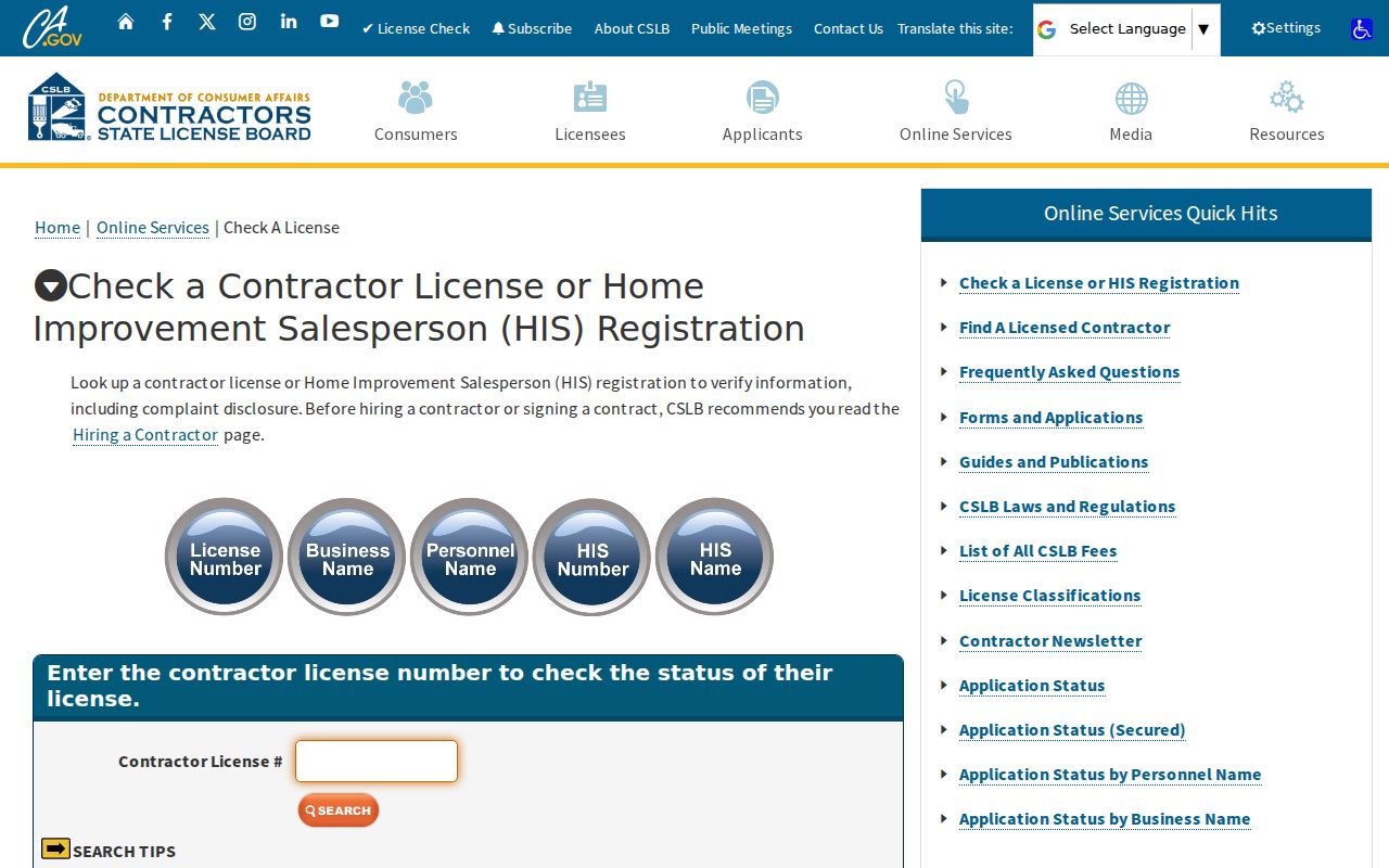
The CSLB capture shows a public professional lookup. The ZIP is a search aid, while the license number and status are the stronger record keys.
Rosemead ZIP Public Safety Maps
Some public safety registries and reporting channels use address or map controls, but they answer a narrow statutory question. California's Megan's Law website carries use warnings and can display legally publishable registrant descriptors and mapped data. A result is not a list of people in a ZIP and should not be expanded beyond the registry's stated purpose.
Fraud reporting has another role. The Federal Trade Commission accepts consumer fraud reports, and the Internet Crime Complaint Center accepts reports of internet-enabled crime. Neither is a ZIP directory. Use them when a record solicitation, imposter, or online scam needs reporting, not as a source of resident identity.
Open the California Megan's Law site for its current warning and search surface.
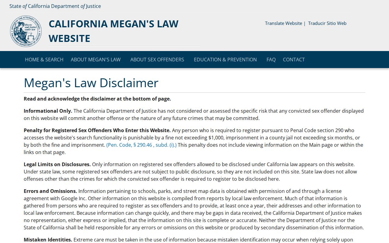
The registry capture illustrates why a map result must keep its legal purpose and warning beside the image.
For a suspected consumer fraud, use the FTC fraud report form.
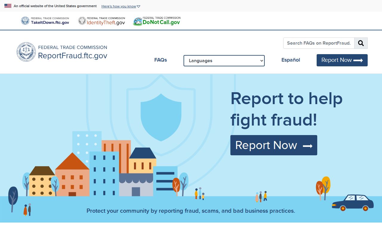
The FTC capture is a reporting path, not a people-search tool. Keep a scam report tied to the transaction or solicitation.
Internet-enabled crime can be reported through the FBI IC3 complaint center.
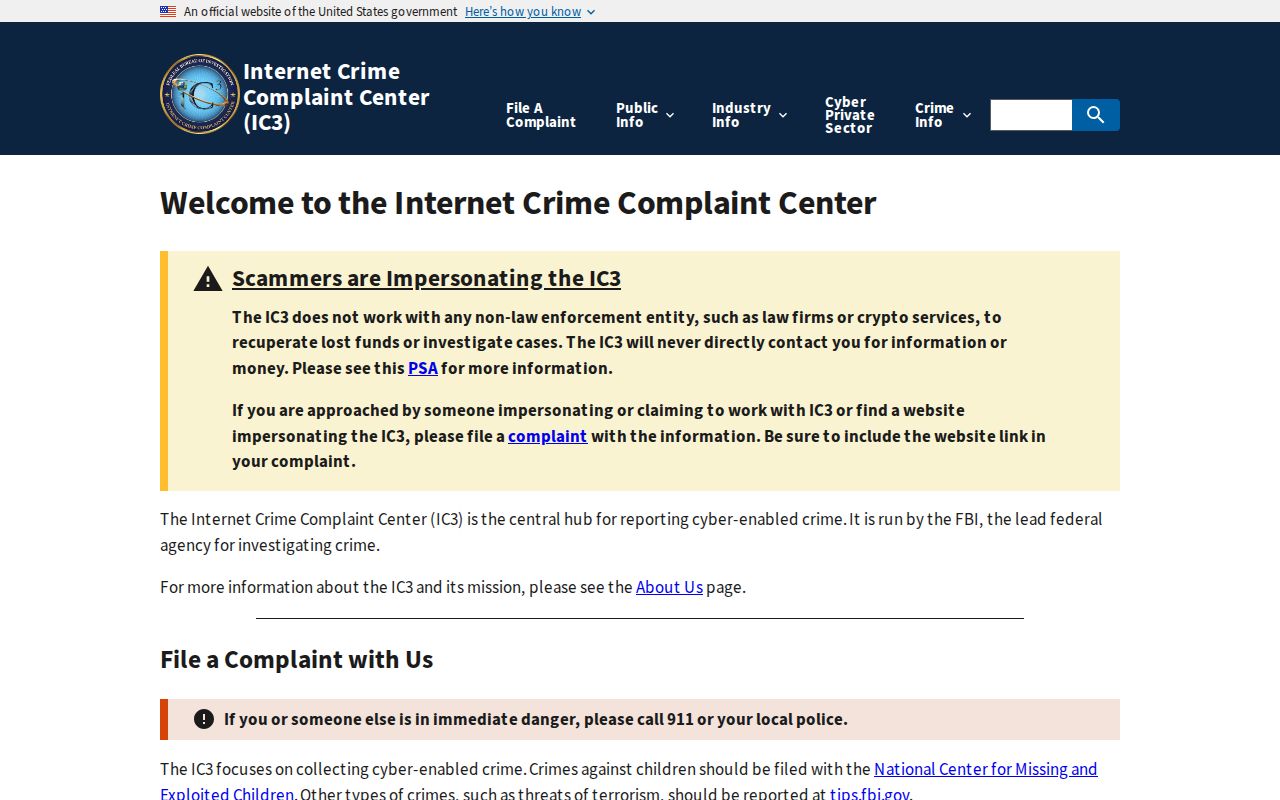
The IC3 capture completes the safety layer. It helps report a problem associated with a ZIP, but it never creates a resident roll.
Rosemead's Pre-1959 ZIP History
Rosemead incorporated on August 4, 1959. A historical address may therefore appear under Savannah, a regional San Gabriel Valley title, or a neighboring postal and community label. ZIP Codes are not the right way to reconstruct that earlier identity. Use the printed directory, census, voter register, deed, map, and AIN together, then note how the modern address was matched.
The city is only 5.16 square miles and borders several jurisdictions, which makes postal and city labels easy to conflate. A ZIP code directory can organize a modern search, but historical household evidence belongs in the city-directory and address-history collections. If the older source has no ZIP at all, that absence is normal rather than a research failure.
Keep postal, parcel, and legal geography in separate columns. That small discipline prevents a neighborhood label from becoming an unsupported claim about where a Rosemead resident lived.
Rosemead ZIP-Wide Results Limits
Do not calculate residents by adding property owners, licensees, businesses, or registry entries. Census ZCTAs approximate ZIP service geography and do not equal USPS ZIP boundaries. Rosemead population totals and ZCTA totals answer different questions, and no official per-ZIP Rosemead voter count was located. A ZIP code directory can narrow a source search, not supply a complete headcount.
Use the exact address. Confirm the postal result with the AIN and city or county custodian before relying on any ZIP-based record clue.
Once a ZIP narrows the geography, move to the Rosemead street directory for parcel-by-parcel work. Keep the ZIP, AIN, situs, city line, source, and access date visible in the worksheet.